The study was prepared by the archaeologists Andrew Bevan and James Conolly and published in the journal Journal of Field Archaeology (Volume 29, 2002-2004). The paper is based on data collected by the Kythera Island Project (KIP).
Summary
This paper examines how the use of Geographic Information Systems (GIS) can transform traditional landscape archaeology, turning surface survey data into a dynamic tool for analysing social change. The authors use the Kythera survey as a key example to show that GIS not only provides digital mapping, but allows for a deeper understanding of how ancient communities perceived and organized their space.
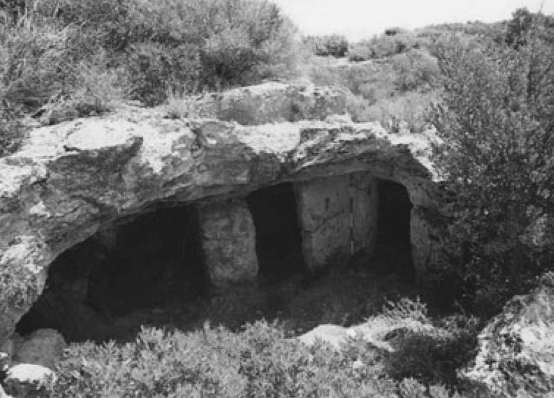
Through computational analysis, the study focuses on the intense settlement change that occurred during the Transition period from the Middle to the Late Bronze Age. By analysing parameters such as soil quality, slope and visibility to the sea, the researchers document a shift towards intensive farming and the creation of many small settlement units in the hinterland. This change is directly linked to the process of «minoritisation», indicating that the social reorganisation of the island was inextricably linked to the new management of the natural landscape.
Furthermore, the research highlights the importance of viewshed analysis between archaeological sites, such as the relationship between the settlement at Kastri and the summit sanctuary at Agios Georgios in Vouno. In conclusion, the paper demonstrates that the combination of intensive surface survey and GIS spatial analysis allows archaeologists to reconstruct the strategies of social control, economic organization and cultural interactions that shaped the history of Kythera in antiquity.