
In the effort to respond to a forest fire, every second counts. A new initiative in Kythera is betting that technology can give the island a critical edge. The pilot phase of a new island-wide early warning system is already underway. Two high-resolution cameras with a 180-degree panoramic field of view have already been installed on the «Sklari» hill above Aroniadika, while ten more are currently being tested for their robustness. This is the first important step towards the creation of a network of at least 30 early detection points in key locations across the island.
The goal is simple: the earlier the smoke is detected, the faster the intervention - and the less damage. Early detection saves time, resources and ultimately protects the natural landscape. At the same time, illegal burning during the fire season could be detected much more quickly and prevented before it becomes a disaster.
The ability for a single firefighter to have real-time supervision of dozens of observation points from one screen would be a significant improvement over the current system, where only one or two hills can be manned at a time.

HOW THE SYSTEM WILL WORK
The cameras will provide wide panoramic images (up to 180°) from elevated positions and surveillance will be carried out on three levels:
- From the Kythera Fire Service
- By volunteers coordinated by the Fire Service
- An artificial intelligence (A.I.) system that will continuously analyse the images and send alerts to the competent authorities if smoke or flames are detected
This approach combines human vigilance with the capabilities of modern technology.
COOPERATION AND CONTRIBUTION
Local authorities and organisations are crucial to the success of the project. Spyros Fountoulakis and the Kythera Fire Service team have provided guidance and operational support, including assistance with the installation of the pilot cameras in Skliri. Akis Agiopoudis and Stavros Haros have also generously offered free access to their local internet transmission networks at selected locations.
Permission has been requested from the Domestic Property of Kythera and from the Municipality of Kythera. Once the necessary approvals are secured, the Kythera Fire Service will be able to issue an official letter of support. With this it will be possible to complete a funding application to the Kythira Australian Association in the hope that the expatriate community will contribute financially to the project.
Local officials have expressed enthusiasm for the pilot phase, but have pointed out that there is currently no public funding available for such a system. For this reason, the pilot phase has so far been privately funded.


The long-term goal of the initiative is to create a system that operates within a formal and accountable framework for the benefit of the whole island. A project of such importance for the whole island would ideally be operated under the supervision of the local authorities. The equipment and the system have been offered to the municipality at no cost, but so far the deputy mayor responsible for civil protection has stated that the municipality does not intend to take over its operation.
THE MORE CAMERAS, THE BETTER THE PROTECTION
The aim is to install cameras in places where there is already a wireless connection before the start of the fire season. In the long term, the more points covered, the greater the likelihood of early smoke detection. The second stage of the project will require either subscriber data connections via SIM card or the installation of antennas to receive the local wireless network at remote locations.
Residents who have extensive views of part of the island and access to a Wi-Fi signal can be contacted to consider having a camera installed on their property.

RESPECT FOR PRIVACY
Protecting privacy is a key priority. The system will operate in full compliance with the European Data Protection Regulation (GDPR) and all applicable privacy legislation.
Cameras will be placed at appropriate distances and angles so as not to monitor private areas. Their purpose is solely to detect smoke or fire in the natural landscape. Although the cameras are high resolution to provide a clear panoramic image, they do not have optical zoom capability to allow for the identification of persons or vehicle signs at the distances where they will be placed.
In addition, where necessary, specific parts of the field of vision can be excluded by means of a manual mask. No image or video will be stored in a cloud system. The cameras are intended solely for live monitoring for the purpose of early fire detection.
The project team remains open to any concerns or suggestions from residents regarding the placement of the cameras.
HOW IT CAN HELP THE COMMUNITY
Residents who wish to support the initiative can contribute in various ways:
- Express your support to the local representatives.
If you believe that an island-wide early warning system will help protect Kythera from fires, you can contact the Municipality or your local councillor and express your support.
- Suggest suitable locations for cameras.
Residents with homes or properties that have extensive views of parts of the island and access to Wi-Fi can be contacted to consider hosting a camera.
- Sponsor a camera.
The cost of a complete camera unit is about 200 euros, including the mounting brackets. Sponsoring even one camera can significantly help to expand the early warning network.
SMALL INVESTMENT, BIG RETURN
The cost per unit, including mounts and mounting masts, is under €200, as the system uses reliable, high-quality commercial equipment such as Reolink Argus 4 Pro 180° cameras. A complete network of 30 such cameras would cost a total of just around €6,000 - a negligible amount compared to the destruction that a single fire can cause. It is also far less than the cost of operating even a firefighting aircraft for a single day.
With such a small investment, the island could significantly enhance its capacity for early warning and faster response.
At a time when the risk of fires is constantly increasing, Kythera has the opportunity to combine community initiative, modern technology and international support to create a practical and affordable early warning system - for the benefit of the natural landscape, settlements, churches and future generations.
James Prineas
james@Kythera–family.net Karydianika, Karavas, 06.03.2026
Camera sites with available Internet connection

| 1. Agia Moni | https://maps.app.goo.gl/fknMeXoxtZa9nArn8 |
| 2. Guidianica | https://maps.app.goo.gl/6y7DiFU7dJpWN5628 |
| 3. Kaladi | https://maps.app.goo.gl/7E3wAy3rTD4b7PM48 |
| 4. Saint Elessa | https://maps.app.goo.gl/1THZzPdNk9jcAxp99 |
| 5. gossip head | https://maps.app.goo.gl/7KdRqopkVnHRqEv19 |
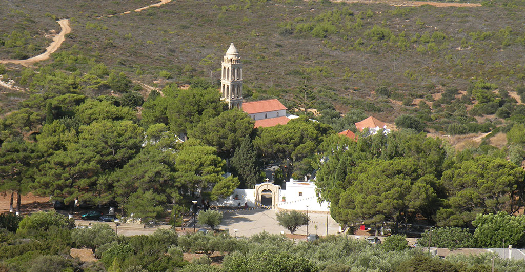
| 6. Monastery of the Birth of the Baptist | https://maps.app.goo.gl/MieqKgbidUnuYAgaA |
| 7. Aryans | https://maps.app.goo.gl/YFCzmp2SNMQYPabT6 |
| 8. Saint Stephen | https://maps.app.goo.gl/LTQ9KW76pPUmtNzV8 |
| 9. North Parsley | https://maps.app.goo.gl/ZKMD9e1zXeDspctJ6 |
| 10. South Paraguay | https://maps.app.goo.gl/iHGfbGvVUrgtTiZD6 |
| 11. Hard | https://maps.app.goo.gl/okYDdgN4kHPcxBh58 |
| 12. Forest of Gerakari | https://maps.app.goo.gl/1RBN2xzj3RUYBJG39 |
| 13. Holy Innocents | https://maps.app.goo.gl/swSC6oGo6cWwnooC6 |
| 14. Virgin Mary Despina | https://maps.app.goo.gl/DuJySdTk3M6gdTVj6 |
| 15. Saint Procopius | https://maps.app.goo.gl/VsTj8UZEDBUmtaiW9 |
FIRST STAGE
Blue indicators
(Already available on the Internet)
SECOND STAGE
Red indicators
(Internet/SIM required)


OK but what can happen when a fog spreads; how will the system understand it; will there be edge computing; i.e. analysis-processing by the camera itself before it gives the image to the operator in the control room; how will the camera detect a flock of birds; will it give an alarm signal?
if nothing else, it's a very interesting proposal.