The weather is expected to worsen from tonight through Wednesday afternoon, according to an Emergency Weather Advisory issued by the National Meteorological Service, which states that the low-pressure system that formed in the western Mediterranean is causing the «ATENA» storm in the central Mediterranean and is moving eastward.
This weather system is expected to bring heavy rain and thunderstorms to our country in some areas, mainly in the west, central and northern mainland regions, as well as the islands of the northern and eastern Aegean.
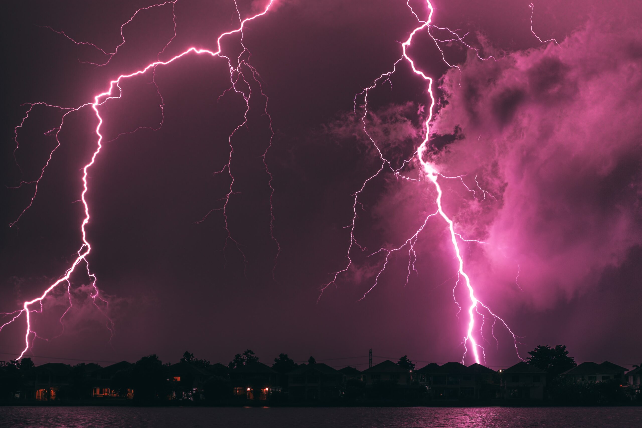
These phenomena will be accompanied by frequent lightning, hailstorms, and strong gusts of wind.
More specifically:
Heavy rain and thunderstorms are forecast:
1. From tonight through Tuesday afternoon (November 10) in the Ionian Islands, Epirus, western Central Greece, and the western Peloponnese.
2. From Tuesday morning until late afternoon in Western Macedonia, Thessaly, and Eastern Central Greece.
3. From early Tuesday afternoon through Wednesday afternoon (September 11) in Central and Eastern Macedonia and the Sporades.
4. From Wednesday morning through Wednesday afternoon in Thrace and the islands of the northern and eastern Aegean.
Civil Protection Recommendations for Citizens in Light of Severe Weather Conditions
The General Secretariat for Civil Protection is issuing recommendations to citizens, urging them to be especially careful, and to take measures to protect themselves from the dangers posed by severe weather events.
The General Secretariat for Civil Protection (civilprotection.gov.gr) of the Ministry of Climate Crisis and Civil Protection has notified the relevant government agencies involved, as well as the country’s regions and municipalities, to maintain a heightened state of civil protection readiness in order to immediately address the impacts of severe weather events.
Furthermore, according to an announcement by the Fire Department, the operational plan is being implemented to address risks posed by flooding and related phenomena, while the Fire Departments in the regions where these phenomena are expected to occur have been placed on high alert and are prepared to escalate their response further if necessary, in order to immediately address any problems arising from severe weather events.
In addition, the Fire Department urges citizens to be especially cautious and, in the event of severe weather, to strictly follow the instructions of the relevant authorities.
In particular, in areas where heavy rainfall, thunderstorms, or strong winds are forecast, the General Secretariat for Civil Protection recommends that citizens:
– Secure objects that, if swept away by severe weather conditions, could cause damage or injury.
– Ensure that the gutters and downspouts of their homes are not blocked and are functioning properly.
– Avoid crossing streams and creeks, whether on foot or by vehicle, during storms and rainfall, as well as for several hours after they have subsided.
-Avoid outdoor work and activities in marine and coastal areas during severe weather events (risk of lightning strikes).
-Take immediate shelter during a hailstorm. Seek shelter in a building or a car and do not leave the safe area until you are certain the storm has passed. Hailstorms can also be very dangerous for animals.
-Avoid walking under large trees, under hanging signs, and generally in areas where light objects (e.g., flowerpots, broken glass, etc.) may become dislodged and fall to the ground (e.g., from balconies).
-Strictly follow the instructions of the local authorities, such as the traffic police, etc.
In areas where there is intense lightning activity:
If you are at home
-Do not hold electrical appliances or your phone, because lightning can travel through the wires. Unplug your TV from the antenna and the power source.
-Avoid touching plumbing pipes (in the kitchen, bathroom), as they are good conductors of electricity.
If you are in the car
-Pull over to the side of the road and away from trees that might fall on it.
-Stay inside and turn on your hazard lights (emergency lights) until the storm subsides.
-Close the windows and do not touch any metal objects.
-Avoid flooded streets.
If you are outdoors
-Take shelter in a building or a car; otherwise, sit down on the ground immediately without lying down.
-Take shelter under the dense branches of low-lying trees if you are in a forest.
-Never take shelter under a tall tree in an open area.
-Avoid low-lying areas due to the risk of flooding.
-Do not stand near utility poles, power lines, telephone lines, or fences.
-Do not go near metal objects (e.g., cars, bicycles, camping equipment, etc.).
-Stay away from rivers, lakes, or other bodies of water.
-If you are in the water, get out immediately.
-If you find yourself alone in an open area and feel your hair stand on end (a sign that lightning is about to strike), sit down in a deep squat with your head between your legs (to minimize your body’s surface area and contact with the ground) and throw away any metal objects you are carrying.